FROM THE COMMUNITY COLLECTION
Bad Fit
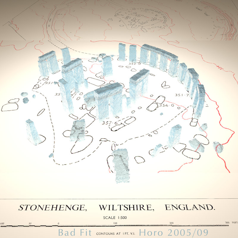
The underlying map was scanned from the 1965 Projects Research Reports from the National Geographic Society. The middle ground shows the center, in the background, a part of the map is rised to show a bit more of the surroundings. The model is from DAZ. I tried to scale and orient it on the map and discovered, to my disappointment, that it doesn't fit on it. Two light rings (see David's and my tutorial) illuminate the model.
Loading unique views3,813 unverified legacy hits4.5 archived rating2005-09-08 added
Comments 3
A conversation around the artworkSign in to join the conversation.
I really like this piece, from the technicalities of the lighting to the considerations of the difference between the model and the reality of the situation. The only thing I would have altered is to make the stones of something untransparent (though I see the reasoning for that) and put some pens or something on the desk to add to the sense of scale.
Me too You are quite right, boen-robot, I could have ungrouped the thing and moved stone by stone to the correct place and create the missing ones. That would have been very tedious, indeed. I was disappointed because I wanted to use the model for some scientific correct work. I finally resorted to show that you cannot use the model as it is for such. But it is good enough for fun.
disappointment... I was expecting more from you... wasn't there a way you could separate the segments of the model OR make yourself a new model of stonehenge to fit the map?