FROM THE COMMUNITY COLLECTION
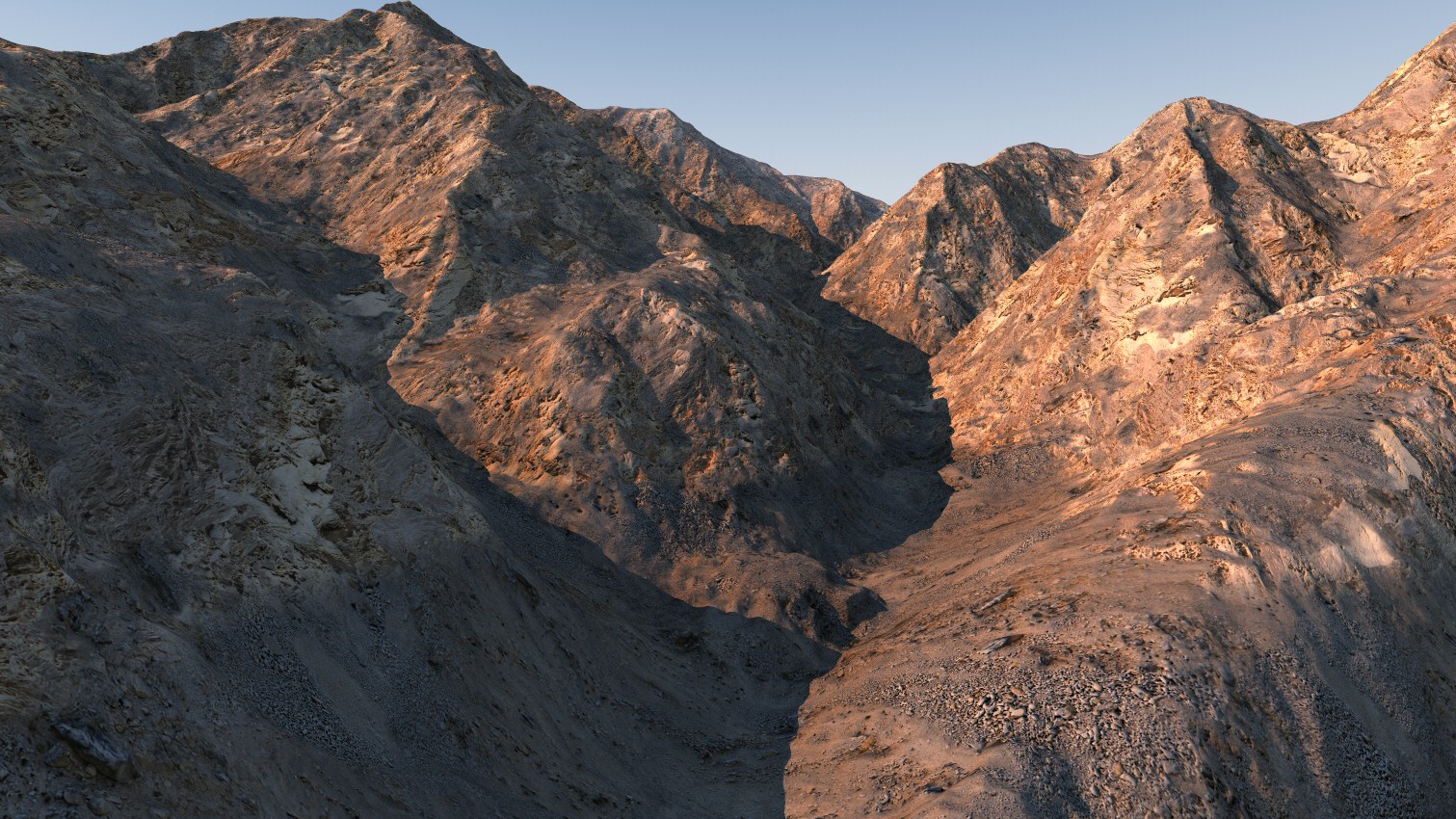
Arid Ravine
The picture mapping modes in Bryce are somewhat eccentric (would be a generous assessment) I think in some cases, the behaviour could be demonstrated to be broken. Integration of tiling pictures (provided by Horo) and procedural components has proved challenging. Here is what I've come up with. CrazyBump was employed once again to generate a plausible heightmap. I cannot praise this program highly enough for stripped down no nonsense approach to what it does. A single terrain (an eroded version of Mt Baldys DEM map) lit with an internally generated HDRI image of the Bryce sky at quality 64. Rendered in Bryce 7.1.0.109 Pro. Render time about 30 minutes.
Loading unique views4,263 unverified legacy hits0.0 archived rating2011-11-11 added
Comments 4
A conversation around the artworkSign in to join the conversation.
Thanks! Of course, all the detail comes at a price, memory - 25 mb for just this simple scene.
The level of detail is amazing, everything is as it should be, awesome !
Thank you. Yes, channel C uses a slope filter combined with noise, which is then further combined with altitude filtering, in an attempt to hide any obvious repetition of the tiling textures.
Very realistic look of these rock slides! Combined ABC texture with alpha channel in C?