FROM THE COMMUNITY COLLECTION
Bella Tola
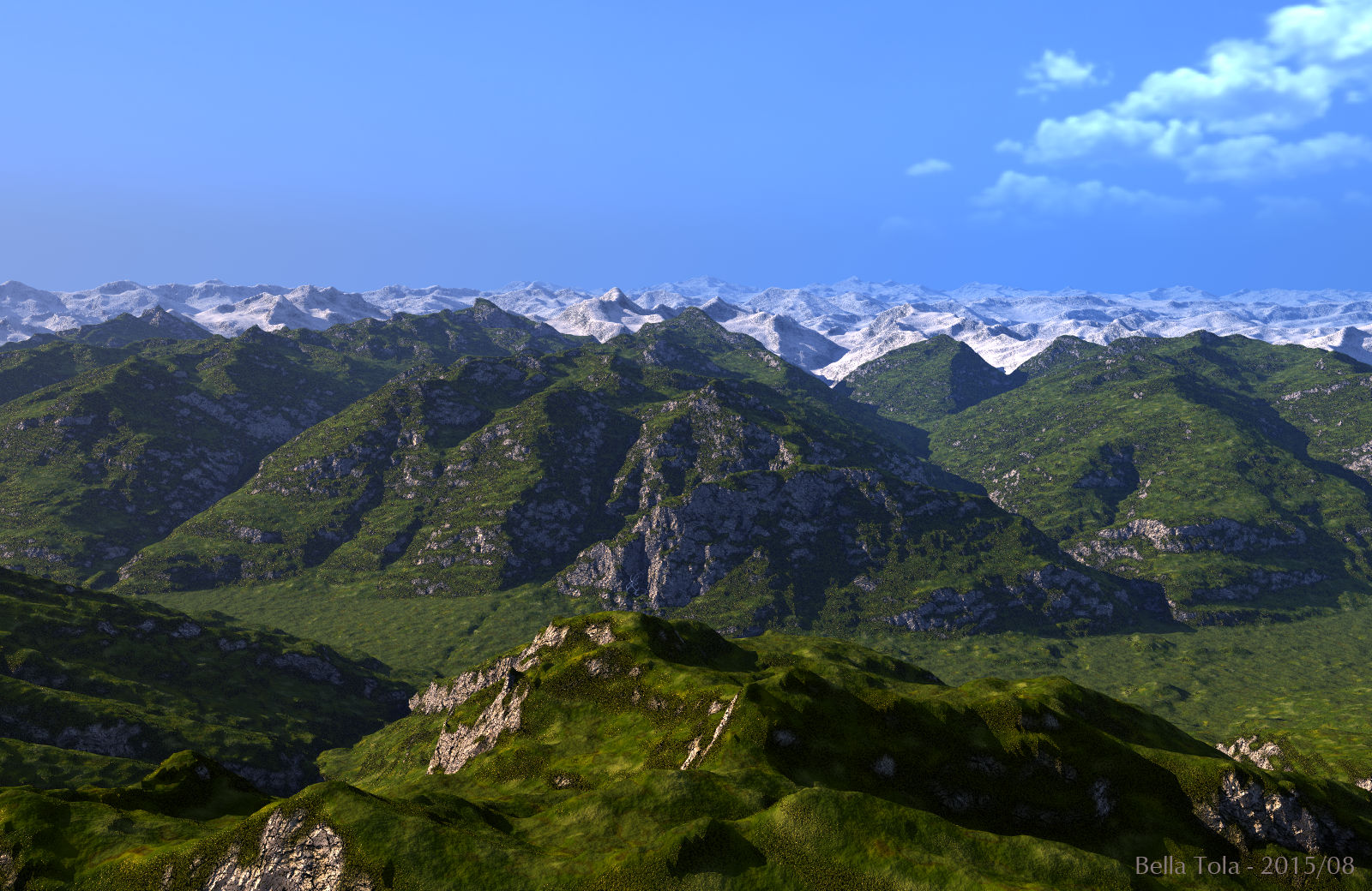
Bella Tola ist the name of the still green mountain in the image centre. The camera is at about 4000 m/13,000 ft looking over the Rhone valley due south. The height map data is from http://terrain.party/. I used four 16 km/11 mi tiles and a 60 km/37 mi tile to create this existing existing landscape in Bryce. The river is missing, so are the roads, hamlets, villages and towns. The cows are there, though, but too small to be seen. The sky and ambient light are from the ErmClouds01 HDRI, which was taken down in the valley, the main light from the rising sun in the east.
Loading unique views5,710 unverified legacy hits0.0 archived rating2015-08-16 added
Comments 4
A conversation around the artworkSign in to join the conversation.
Thank you electro-elvis. Next time you hike around in the region, give me a call and we can have a nice glass of wine.
Once I was hiking near the Bella Tola. I my memory it was steep, very stony and a bit dangerous. Very well down.
Thank you. The topography ought to look realistic, it is. Though the resolution is only 60 m/px.
* Very realistic topography, remarkable textures.